A-Link
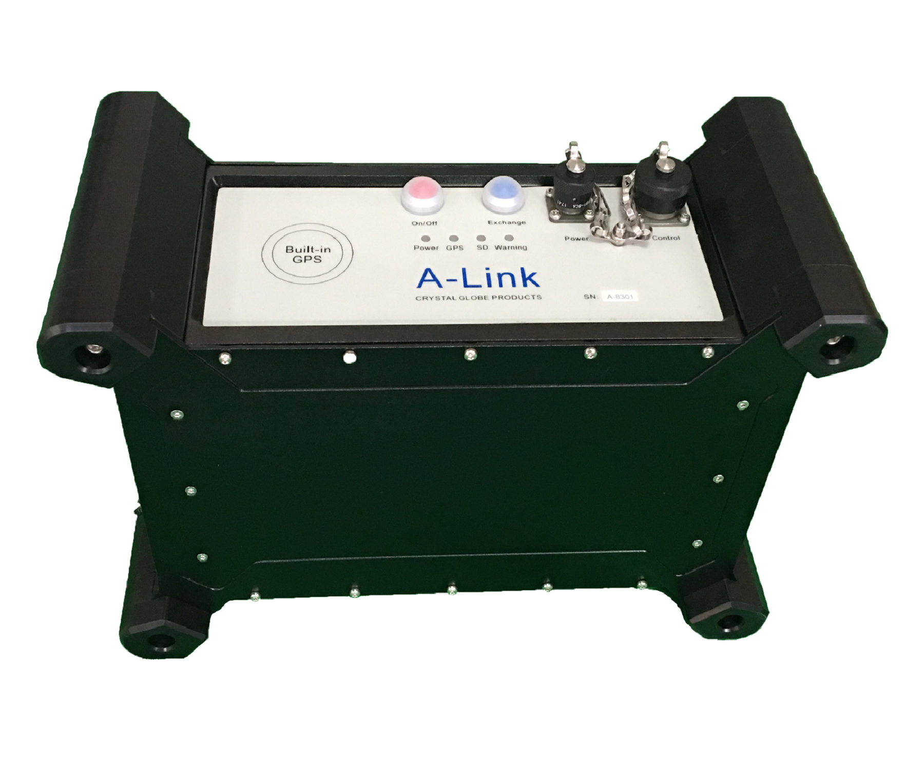
A new generation electromagnetic 3D system,A-Link, all-new glass design, makes exploration more efficient, precise, less expensive,distributed system specifically designed for exploration, mineral mining, shallow oil and gas, as well as groundwater exploration.
A-Link is a multiple simultaneous channels, distributed designed for high resolution, time-lapse monitor. It's an electromagnetic instrument using the CSAMT, AMT, MT, TEM. The receiver is a node, with GPS synchronization, eight input channels.
A-Link network can have up to 200 receivers for simultaneous acquisition of up to 1600 channels, each channel can be electric field or magnetic field. Putting all channels on a network with a single setup and one transmitter run data acquisition up to 1600 channels, saving time, effort, and low money.
Now, you can do distributed 3D EM surveys with confidence.
Specifications:
Principle: CSAMT, AMT, MT, TEM
Frequency Range: DC to 50kHz
Electric Sensors: EG-MT
Magnetic Sensors: CMS 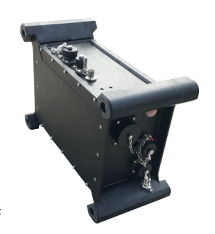
Channels: 8 channels
Sample frequency: 96K
Record length: Complete Time series
AD Conversion: 24 bits
Dynamic Range: 130 dB
Noise floor: 5 nV/√Hz
Storage Memory: 32G
Maximum Distance between receiver: 100 m
Analog Receiver Input Impedance: > 10 Mohm
Power consumption: below to 3W
Operating Temperature:-40 C to 80 C
In-field QC: Time series, apparent resistivity and phase
Maximum signal input voltage: +/-20v
GPS Accuracy: 30nS
Maximum Channels: 1600 channels
Communication Protocol: 100 Mbit Ethernet
Mining Exploration, Shallow Oil and Gas Exploration, Seismic Static Correction, Academic Research, Ground Water, Deep Engineering, Geologic Structure Mapping
Remote Reference Synchronization
Remote referencing can be done by post processing of the synchronized GPS or clock time stamps on the remote receiver and the local receiver.
Transmitter Synchronization
The receiver acquisition can be timed to a controlled source transmission using the GPS synchronization.

A-Link Features
•Distributed network of up to 1600 channels
•Each receiver configurable for up to eight channels (each one can be E-field or H-field)
•Low noise 5 nV/rtHz
•Automatic calibration in the field
•Automatic contact resistance measurement in the field
•Synchronized all channels for acquisition
•Synchronized by GPS to transmitter
•Rugged instrumentation
•Reliable network communication
•High-density 3-D data sets for complete characterization of your mining prospect
•Full tensor CSAMT
•In-field calibration for more accurate measurement
•MT, AMT, CSAMT, TEM modules available
•High-resolution, high-density EM data with many sounding stations at the same time .
•Saves time:Traditional CSAMT requires burying coils for every sounding. Each time the station is moved, the coils are reburied. Geode EM3D network allows using magnetic coils on one receiver to be used for multiple soundings on other receivers so fewer coils need to be buried.
•Improves efficiency: Operator can choose the optimal number of magnetic coils for the survey needs. For example H-field measurements can be used for every two E-field measurements, or maybe only every six, ten, or more E-field measurements, depending on the complexity of the geology and the requirements of the survey.
•Improves data quality: Using multiple Hy and Hx on different receivers, at different locations simultaneously, allows local referencing to improve data quality.